Monday, October 31, 2022

Hurricane Lisa (2022)

Storm Active: October 31-November 5

During the last week of October, an area of disturbed weather formed in the southeastern Caribbean sea. It moved generally west-northwestward over the next few days, and upper-level winds gradually became more favorable for development. Around October 30, a broad low pressure center formed west of the main convective mass, with several small vortices rotating around a poorly-defined circulation. At that point, it was not yet organized enough to be declared a tropical cyclone. The next day, however, more significant thunderstorm activity popped up closer to the center swirl and the system was classified Tropical Storm Lisa.

At first, Lisa's circulation was not well-stacked, which slowed strengthening in the short term. The steering pattern near Lisa was quite simple: a ridge to its north kept it on a consistent west-northwest track over the next few days. On November 1, the storm passed just north of Honduras, but since it had a small circulation, impacts to that country were minor. By that time, Lisa's circulation had become better defined, but pockets of dry air prevented it from rapidly intensifying. Nevertheless, winds increased steadily, and Lisa ultimately became a hurricane early on November 2.

The hurricane strengthened right up to landfall, reaching a peak intensity of 85 mph winds and a central pressure of 990 mb before moving into Belize that afternoon, bringing strong winds and storm surge to a relatively small area of the coast. The cyclone remained intense, however, as it pushed inland. It was downgraded to a tropical storm that night and to a tropical depression on November 3. Lisa moved west-northwestward and emerged into the Bay of Campeche the next evening. The storm did get a boost in thunderstorm activity once it was back over water, but restrengthening was cut short on November 4 by a sharp increase in upper-level winds. The convection was quickly stripped away from the center of circulation, and Lisa meandered a little longer before dissipating on November 5.


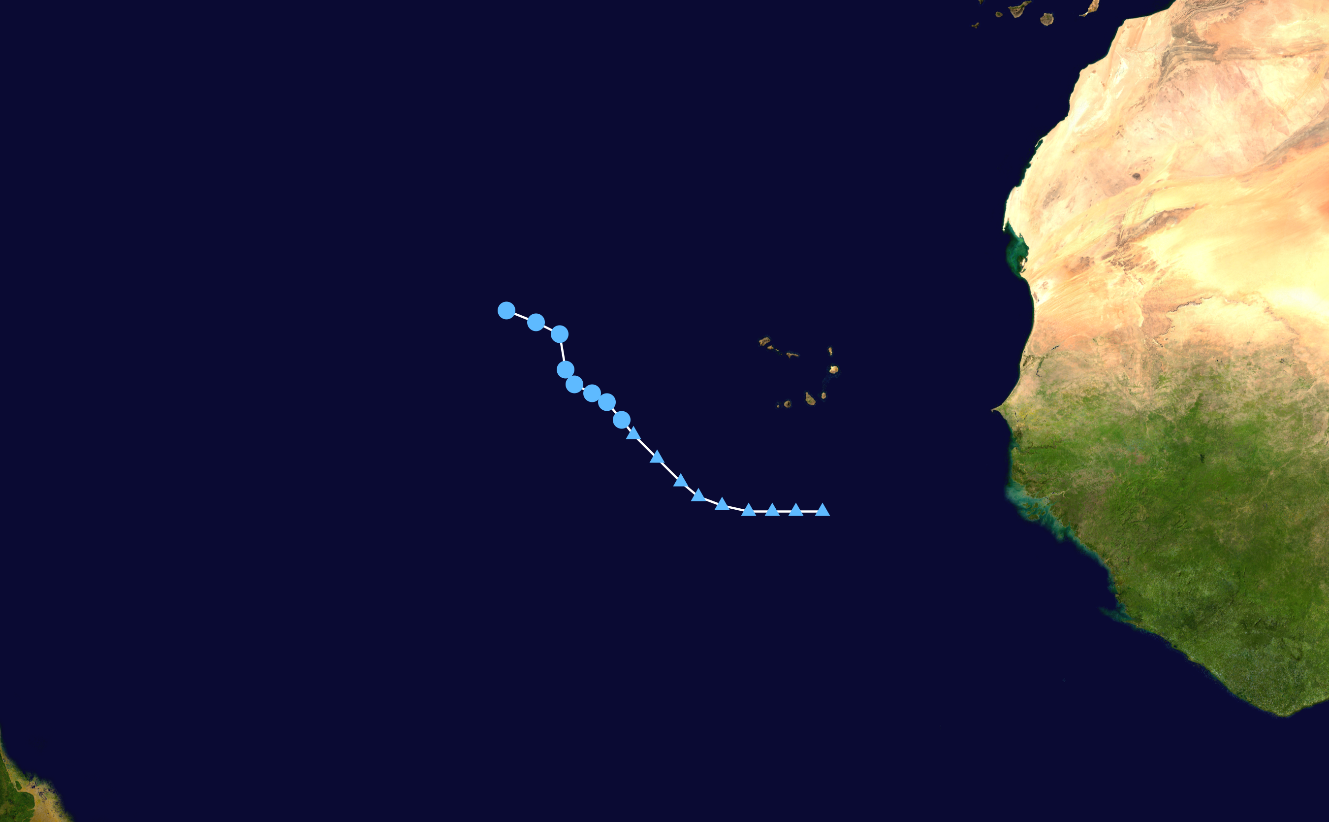
The above image shows Lisa as a category 1 hurricane, right before landfall in Belize.


Lisa was a small cyclone and its effects were mainly felt very close to the forecast track in Belize and southeastern Mexico.

Tuesday, October 11, 2022

Tropical Storm Karl (2022)

Storm Active: October 11-15

On October 10, a disturbance belonging to the same large area of vorticity as the remnants of Hurricane Julia entered the Bay of Campeche. It found a pocket of favorable conditions for development and organized rather quickly over the next day. A large area of convection blossomed near the nascent center of circulation on the 11th and the system was classified Tropical Storm Karl. At the time of naming, the storm was drifting northeastward under weak steering currents, but was far enough from any coastline that it was not impacting land at the moment.

Karl had marginally favorable conditions over the following day and strengthened some, reaching peak winds of 60 mph on October 12. Late that day, a few things changed: first, an area of high pressure moved in over the areas of Mexico west of Karl, setting up an anti-cyclonic steering flow. Since Karl was on the eastern side of that flow, it made a sharp turn and began to move generally southeastward. Second, stronger upper-level winds began to encroach from the northwest, bringing dry air with them. As a result, both the tropical storm and thunderstorm activity were pushed southeastward, and Karl fluctuated in intensity over the next few days as convection was stripped away from the center and then reformed.

By October 14, steady weakening was occurring as the center approached the coast of Mexico along the southern Bay of Campeche. Most of Karl's moisture had been pushed over land, and was causing heavy rain there. The system weakened to a tropical depression as shear overwhelmed it and it became post-tropical early on the 15th just before official landfall in Mexico.


The image above shows Tropical Storm Karl on October 12. Already, the effect of upper-level winds is evident: Karl's center is nearly exposed on the northwest side.


Karl meandered around the Bay of Campeche during its time as a tropical cyclone; impacts were primarily confined to heavy rains along the regions of Mexico south and east of the storm track.

Saturday, October 8, 2022

Hurricane Julia (2022)

Storm Active: October 6-9 (left Atlantic on October 9)

The system that became Hurricane Julia originated as a tropical wave which entered the Atlantic near the end of September. It took a low latitude route across the basin but began to show some spin on satellite imagery by around October 3 as it was approaching the southern Windward islands. On October 4, a surface low formed and was easily visible as a naked swirl of clouds on satellite imagery; all thunderstorm activity was displace southeast of the center. This small vortex was ejected westward and dissipated, while the broad mid-level circulation took a more southerly route. As a result, the disturbance had significant land interaction with the northern coast of Venezuela, which slowed its development. That did not stop the system from being a prodigious rainmaker in that country, however.

Tropical Depression Thirteen formed at last late on October 6, when the center was still located near the coast of Venezuela. A ridge of high pressure was steering the depression quickly westward and also keeping it from gaining latitude. On the 7th, it strengthened into Tropical Storm Julia. Julia had some initial trouble with maintaining a well-defined center of circulation and some shear out of the northeast kept the northern semicircle bare but for some scattered spiral bands. Nevertheless, the warm waters of the Caribbean fueled steady intensification.

The storm veered a little south of west on October 8 and found a pocket of more favorable atmospheric conditions, allowing it to intensify into a hurricane. Extremely intense convection blossomed around the center that night as Julia approached landfall in Nicaragua. The cyclone reached a peak intensity of 85 mph winds and a pressure of 982 mb before making landfall very early in the morning on October 9. The storm brought very high rainfall rates to Nicaragua, but was also still moving quickly, so the rainfall was not prolonged. By the afternoon, the center of Julia emerged into the eastern Pacific, still maintaining tropical storm strength. It was the second storm after Bonnie to maintain tropical storm strength crossing from the Atlantic to the east Pacific; this was the first year that two such events were recorded. Julia maintained the same name as an eastern Pacific tropical storm.

It turned west-northwest and generally moved parallel to the coast of central America, bringing additional precipitation to El Salvador and Guatemala over the next day. Though it was over water, atmospheric conditions and proximity to land prevented the system from recovering, and Julia weakened into a tropical depression; it dissipated near the coast of Guatemala on October 10.


The above image shows Hurricane Julia at landfall very early on October 9.


Julia was the second storm of the year to cross from the Atlantic to the Pacific.

Tropical Depression Twelve (2022)

Storm Active: October 4-6

Near the end of September, a vigorous tropical wave left Africa and moved over the Atlantic. It passed near Cabo Verde a day or so later. The wave was producing significant thunderstorm activity, but took a few more days to organize. Tropical Depression Twelve eventually formed on October 4, not too far west of Cabo Verde. Much like its predecessor, Tropical Depression Eleven, Twelve was moving northwestward toward unfavorable atmospheric conditions by the time it was classified.

The next day, southwesterly shear began to rip convection away from the center, and the environment was only getting harsher. Late on October 6, the depression was downgraded to a remnant low, without having been named. This low dissipated shortly thereafter.


In the above image, the center of circulation of Tropical Depression Twelve is visible as a naked swirl to the west of any thunderstorm activity. This was due to wind shear.


Twelve did not affect any land areas as a tropical cyclone.