The assembly line of tropical cyclones continued as another tropical wave began to organize in the east Atlantic around September 18. Before long, it was named Tropical Storm Rose southwest of Cabo Verde. Only 2005 and 2020 had an "R" storm (or seventeenth named storm) form earlier in the season than Rose did. At the time of its formation, the high pressure ridge usually located between Bermuda and the Azores had retreated quite far east, leaving Rose an opportunity to move north-northwest. The storm had a day or two in favorable atmospheric conditions and over fairly warm water, and it strengthened modestly.
Just north of the tropics, however, Rose found drier air, higher shear, and cooler water beginning September 21. These snuffed out the storm's thunderstorm activity, leaving it a naked swirl by the 22nd. Rose weakened to a tropical depression that day. Soon after, it degenerated into a remnant low.
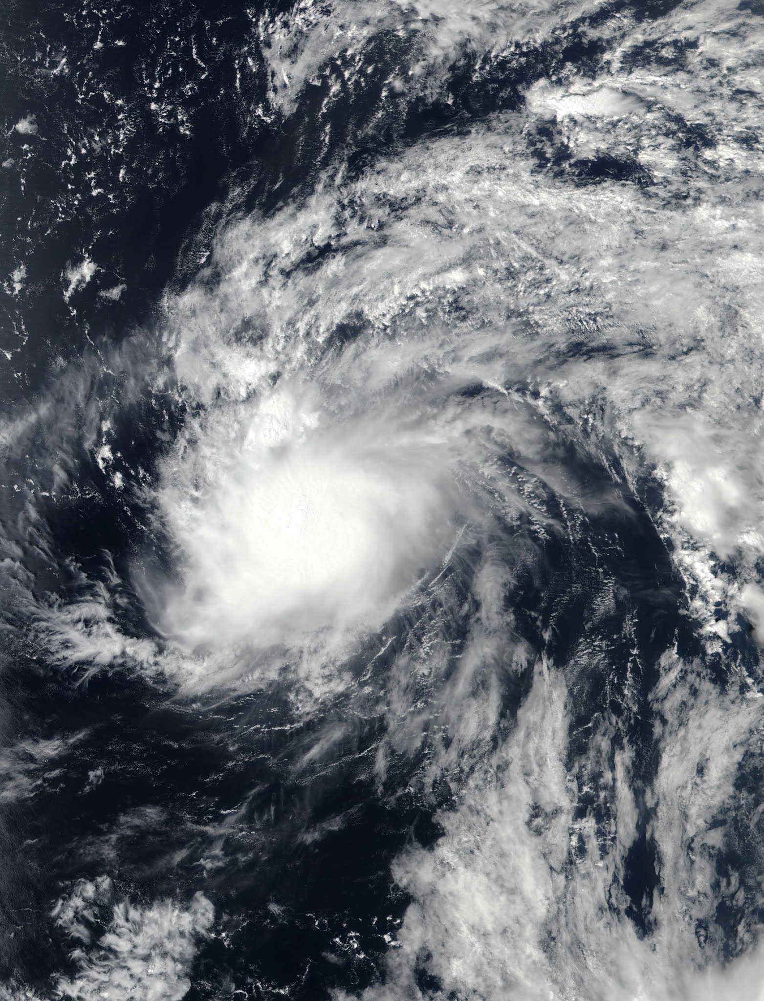
The above image shows Rose over the open east Atlantic.

Due to a weakness in the subtropical ridge, Rose turned north just west of Cabo Verde and didn't spend much time at a tropical cyclone.
No comments:
Post a Comment