On August 22, an impressive tropical wave entered the Atlantic. It tracked westward at a fairly low latitude and slowly organized. A few days later, it was starting to contend with higher wind shear, making conditions less favorable for tropical cyclone development. Nevertheless, a well-defined low pressure center appeared by early on August 27. Later that day, convection was organized enough to designate the system Tropical Depression Ten several hundred miles east of the Lesser Antilles.
A weakness in the subtropical ridge, expanded by soon-to-be Tropical Storm Julian, drew the new depression generally poleward, and the center was intermittently exposed on the western edge of the convection by northwesterly shear. The shear gradually increased over the next few days as Ten followed its meandering northward path. The storm managed to intensify just enough to be named Tropical Storm Kate on August 30 (though it was the tenth tropical depression of the season, the eleventh snagged the name Julian one day sooner).
Even though wind shear declined from that point, water temperatures were not especially warm and Kate also was encountering a drier air mass. The upper-level winds out of the west were replaced by ones out of the north, bringing even drier air over the center of circulation. It's also the case that a storm moving north is affected more adversely by upper-level winds opposite to the direction of motion (out of the north) than toward the direction of motion (out of the south). This combination led to Kate weakening back to a tropical depression, and then opening up into a trough entirely on September 1.

Kate was a sheared tropical cyclone all its life, as the above photo illustrates. Periodic bursts of convection were immediately displaced southeast of the center.
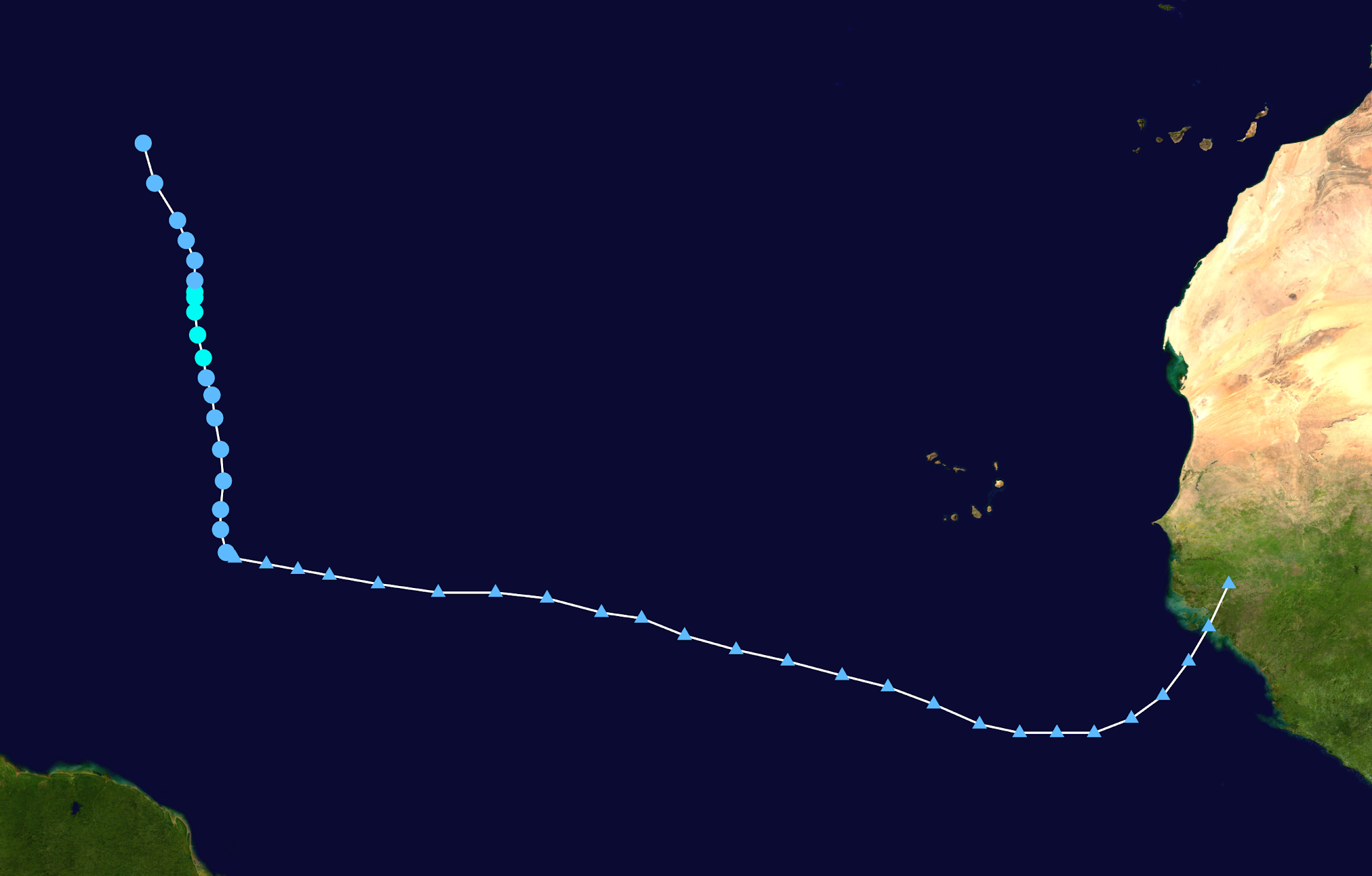
The beginning of Kate's track shows it as a tropical wave across the Atlantic (triangular points). Once it became a tropical cyclone, the system turned sharply north into a weakness in the subtropical ridge.
No comments:
Post a Comment