On November 12, a very strong cold front swept southeastward over the eastern half of the United States, bringing cold air in its wake as it departed the coast. A few days later, the large frontal boundary became stationary over the central Atlantic. By November 16, a broad area of low pressure was forming along the southern edge of the front, which at that time lay well northeast of Puerto Rico. The low had become better defined and produced winds of gale force on November 17. Meanwhile, the system was moving north-northwestward and developing more concentrated convection. By November 18, the low was deepening rapidly and a prominent banding feature beginning in the western side of the circulation and wrapping clockwise to its southeastern edge appeared. The frontal boundary that had been associated with the low was gone by that afternoon, so the system was designated Subtropical Storm Melissa.
Melissa was subtropical due to its broad wind field and circulation, but it was already a strong cyclone, and strengthened steadily into the morning of November 19 as it moved northwestward. During the afternoon, a cold front approaching from the west caused the cyclone to turn northeastward and begin to accelerate as Melissa reached its peak intensity as a subtropical storm of 65 mph winds and a pressure of 982 mb. Though convection became a little closer to the center of Melissa that evening, the outflow of the system had grown less impressive, and the maximum winds diminished through the early morning of November 20.
Later that morning, however, better defined curved bands developed, and enough convection appeared near the center that it was clear that the system had made the transition to Tropical Storm Melissa. Over the next day, the cyclone continued to move quickly to the northeast and then east-northeast into cooler water, but still managed to maintain tropical cyclone status into November 21. That afternoon, Melissa's peak winds actually increased to 65 mph once again, with a pressure of 980 mb. Since the system was over very cold water at the time, the strengthening indicated that Melissa would very soon be post-tropical. In fact, the remaining banding features continued to deteriorate that evening, and Melissa became post-tropical.
By this time, the cyclone had passed just north of the Azores. The outer wind field of the system caused gusty winds in the islands, but the diminishing convection was such that no significant rainfall occurred. The system that had been Melissa continued roughly eastward until its dissipation.

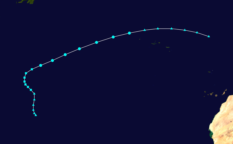
The above image shows Melissa as a subtropical storm on November 19. At this time, the center was still mainly devoid of convection, a common feature of subtropical storms.
Melissa did not significantly affect any land mass during its lifetime.
No comments:
Post a Comment