A powerful tropical wave located over Senegal in west Africa entered the Atlantic on September 22 and immediately began to organize. It became Tropical Depression Ten the very next day. Very unusually, it moved north-northwest after hitting the ocean, responding to a weakness in the ridge to its north. That night, it strengthened into Tropical Storm Hermine, stealing the "H" name from Tropical Depression Nine, which only became a tropical storm a little later and therefore was assigned the name Ian.
Hermine managed to produce deep convection to the north-northeast of the center through early on the 24th, but as it moved north conditions turned hostile quickly. Cool ocean waters and strong upper-level winds stripped the center of thunderstorm activity by the afternoon. Since these winds pushed the moisture associated with Hermine northeast, the storm indirectly brought scattered heavy rains to Mauritania, Western Sahara, and the Canary Islands. These regions have a desert climate and it was very rare for them to be affected, even indirectly, by a tropical cyclone. Hermine weakened to a depression that evening. The next day, the shallow system turned back toward the west and became post-tropical. Its remnants dissipated shortly therafter.
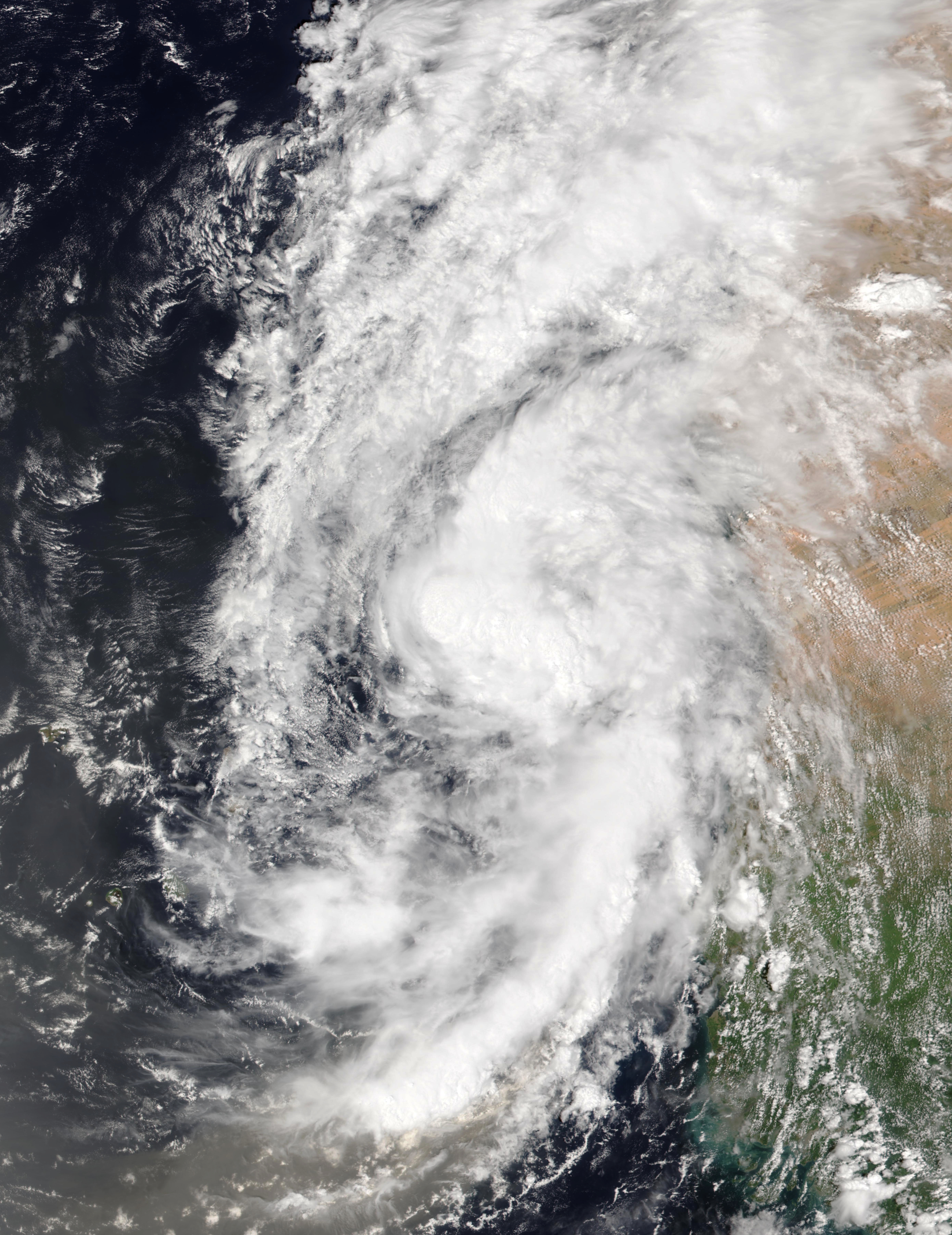
The above image shows Hermine just after formation on September 23. The western coast of Africa is visible at right.

Hermine took an unusual northward path in the far eastern Atlantic and brought precipitation to northwest Africa and the Canary Islands, which are visible above and to the right of the storm track.
No comments:
Post a Comment